

GeoLibre
开发者认可opengeos
Lightweight cloud-native GIS for visualizing and analyzing geospatial data
已复制!粘贴到终端并按回车即可安装。
关于
This is a community package of GeoLibre, maintained independently and published with the permission of its developers.
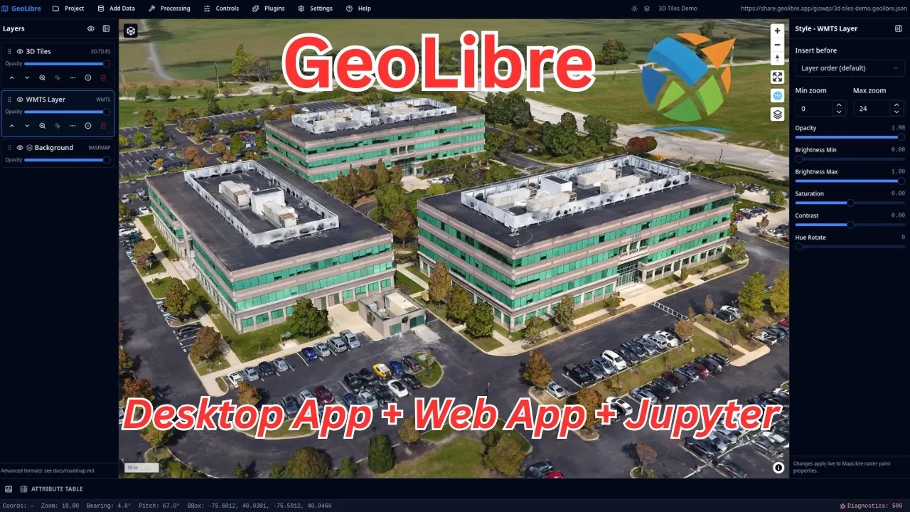
GeoLibre is a lightweight, cloud-native GIS platform for visualizing, exploring and analyzing geospatial data. The same app runs in the web browser, on the desktop, on mobile and inside Jupyter notebooks. The map view is powered by MapLibre, with deck.gl layers and in-browser DuckDB-WASM for fast SQL analysis of vector data.
Features:
- Interactive maps with vector and raster layers
- In-browser SQL analysis of geospatial data via DuckDB-WASM
- deck.gl visualization layers
- Open common GIS formats (GeoJSON, GeoParquet, COG, PMTiles and more)
Sandbox note: GeoLibre also ships an optional Python backend ("geolibre_server") for heavier server-side geoprocessing (raster/ML, WhiteboxTools, Apache Sedona) and the Jupyter integration. That backend needs additional Python geospatial dependencies that are not bundled, so those advanced server-side features are not available inside the sandbox. The core map viewer, data visualization and in-browser DuckDB analysis work normally.
详情
权限
1 项需确认网络访问
可访问互联网和本地网络
进程间通信
与主机共享 IPC 命名空间
X11(回退)
Wayland 显示
GPU 加速