

RustGIS
Open Geospatial Solutions
Fast, free and open-source GIS in pure Rust
已复制!粘贴到终端并按回车即可安装。
关于
This is a community package of RustGIS, maintained independently and unaffiliated with its developers. It repackages the official upstream Linux build unmodified.
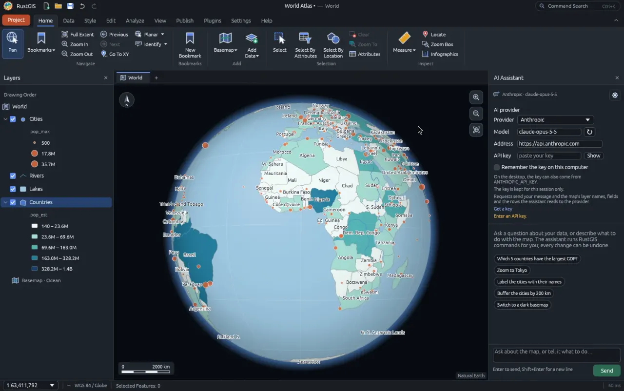
RustGIS is a desktop GIS written in Rust and drawn on the GPU. It opens vector and raster data such as GeoJSON, shapefiles, GeoPackage and GeoTIFF, styles and labels layers, runs geoprocessing tools, builds print layouts and saves everything as a project.
Web Data finds public satellite imagery and services, plugins add basemaps and more from the plugin registry, and an optional AI Assistant drives RustGIS commands through a provider you choose, including a local Ollama server.
Sandbox: display, GPU, network for basemaps, web data, plugins and the assistant, the Secret Service for remembered assistant keys, and the home folder, so a shapefile's companion files and a project's layers are found beside the file you open. Handing tasks to coding agents installed on the host is not available in the sandbox.
Known issue: RustGIS looks for Chinese, Japanese and Korean fonts at fixed system paths, which the sandbox replaces with the runtime's own fonts, so a Chinese, Japanese or Korean interface shows boxes. To use the English interface, run flatpak override --user --env=RUSTGIS_LANGUAGE=en org.rustgis.RustGIS.
The command-line tool is flatpak run --command=rustgis-cli org.rustgis.RustGIS --help.
新版变化
v0.7.0 · 2026-11-16详情
权限
3 项需确认与 org.freedesktop.secrets 通信
可读取主机密钥环;多数密钥环解锁后其他应用保存的密码也会暴露
网络访问
可访问互联网和本地网络
主目录
进程间通信
与主机共享 IPC 命名空间
X11(回退)
Wayland 显示
GPU 加速